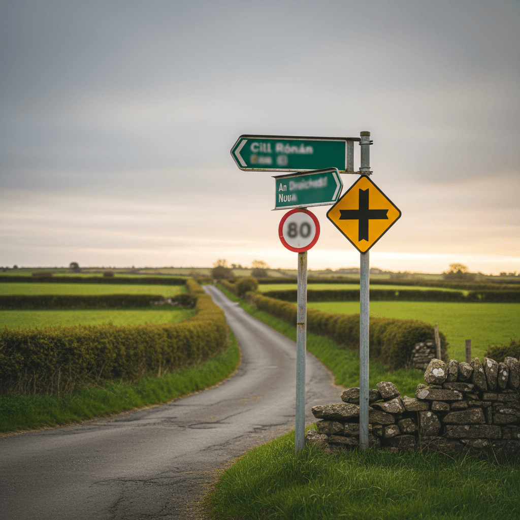
Two things catch visitors out on Irish roads, and neither is the left-hand driving. The first is a speed limit sign with no number on it. The second is treating the number as a target rather than a maximum.
The limits today, in the Republic
| Road type | Limit |
|---|---|
| Motorway (M) | 120 km/h |
| National primary road (N) | 100 km/h |
| National secondary road (N, green signs) | 100 km/h |
| Regional road (R) | 80 km/h |
| Rural local and unnumbered roads (L) | 60 km/h |
| Urban areas | 50 km/h |
| School zones | 30 km/h |
Every one of those is a default. A council can set a special limit on any stretch of road, and where it has, the sign beats the table.
The sign with no number
Most rural local roads carry no number on a sign, so the limit is never written down for you. What you meet instead is a white circle with five diagonal black lines across it and no number, often with a "Go Mall / Slow" plate under it.
That sign means 60 km/h.
It meant 80 km/h until 7 February 2025. Older maps, guidebooks and hire-car satnavs may still treat it as 80, and a satnav that reads it wrong will happily let you drive 20 km/h over the limit down a lane you cannot see the end of. If a road carries no number at all, assume 60.
What changed on 7 February 2025
On 7 February 2025 the default limit on rural local roads — the ones designated with an L followed by a number, or with no number at all — dropped from 80 km/h to 60 km/h. Regional roads, the R-numbered ones, were not part of that change and stayed at 80 km/h.
That was the first phase of a national speed limit review, and it is the reason the sign with no number means something different now from what it meant on your last trip.
What has not changed yet: the national secondary roads
A national secondary road is still 100 km/h today. These are the green-signed N roads that carry a lot of the scenic driving in the Republic — the N71 through West Cork to Kenmare, the N59 across Connemara, the N56 in Donegal, and the N15, N21, N22 and N72.
The Road Traffic Act 2024 provides for that default to fall from 100 km/h to 80 km/h. It has not been introduced yet, and no commencement date has been announced. Anyone who tells you the date is guessing.
So drive the posted sign. A default is only what applies where nothing else is posted: wherever a stretch carries its own limit, that sign is the law on that stretch whatever the default says. On a road like the N71 the posted number can change several times in an afternoon.
The 30 km/h limits, council by council
The next phase is not a national default change at all. Individual local authorities are reducing limits from 50 km/h to 30 km/h in town centres, housing estates and outside schools, each by its own bye-law, after its own public consultation. Signs appear area by area rather than everywhere on one morning.
The Department of Transport says it expects nationwide implementation by 31 March 2027. Treat that as a target, not a date your own town will meet — every council sets its own timetable, and they will not all land together. As everywhere else: drive the posted sign.
Northern Ireland: miles per hour, and a different authority
Northern Ireland is a separate regime. Its limits are set by the Department for Infrastructure — DfI Roads is the sole road authority for all public roads there — and not by the Department of Transport in Dublin. They are posted in miles per hour.
| Road type (car) | Limit |
|---|---|
| Built-up areas | 30 mph unless a sign says otherwise |
| Single carriageway outside built-up areas | 60 mph |
| Dual carriageway | 70 mph |
| Motorway | 70 mph |
Three things to add to that table. The 30 mph limit usually applies to all traffic on any road with street lighting, unless a sign shows something else. 20 mph limits are increasingly common in built-up areas. And towing lowers every limit: a car with a caravan or trailer is held to 30 mph in built-up areas, 50 mph on a single carriageway and 60 mph on a dual carriageway or motorway. Larger goods vehicles are lower again.
Northern Ireland has its own pending change. The DfI ran a Speed Limit Review consultation covering 20 mph limits, the national limits on rural single and dual carriageway roads, and HGV limits. It opened on 14 January 2026 and closed on 22 April 2026, and no outcome has been announced. Nothing on the table above has moved as a result of it.
Crossing the border
The units change at the border. Whether the road tells you depends on which road you are on.
In April 2012 the Department for Infrastructure (then the Department for Regional Development) authorised a "Welcome to Northern Ireland" sign that carries the words "Speed limits in miles per hour", and its Roads staff were asked to put it up at eight strategic crossings, for traffic coming into Northern Ireland:
- the A1 between Newry and Dundalk
- the A2 between Derry and Letterkenny
- the A3 between Armagh and Monaghan
- the A38 between Strabane and Lifford
- the A4 between Belcoo and Blacklion
- the A46 between Enniskillen and Donegal
- the A5 between Aughnacloy and Monaghan
- the A509 between Enniskillen and Belturbet
The Department limited it to those eight on cost. That is an authorisation and an instruction, not a survey: the Department does not publish whether each sign was put up or is still standing, and we have not checked them ourselves. The sign faces only one way, so it tells you nothing on the way south. On any other crossing, do not count on a sign that names the change — the first one you see may simply be a speed limit in mph, or in km/h going the other way. There are no checkpoints, the road does not change, and on a back road you may not notice crossing at all. Your hire car's speedometer carries both rings — read the mph one north of the border and the km/h one south of it. If you have never driven on the left either, start with the driving on the left guide.
Three of the drives on this site cross:
- Inishowen 100 — starts in Derry and crosses twice, outbound on the A2/N13 just before Bridgend and again coming back down the Foyle at Muff. The A2 is one of the eight crossings the sign was authorised for, but the loop crosses it heading out of Northern Ireland, and Muff is not on the list — so on the way back in, the first mph sign may be your only clue.
- Cavan Burren Geopark Trail — the drive up from Blacklion to the Marlbank Road trailhead crosses into Northern Ireland at Belcoo, on the A4 — one of the eight crossings the "Welcome to Northern Ireland" sign was authorised for. We have not confirmed it is standing.
- Marble Arch & Cuilcagh — mostly in Fermanagh, but it crosses into Cavan between Belcoo and Blacklion, where the signs go back to kilometres.
How speed limits are enforced
Speeding in the Republic is enforced by fixed-charge notice and penalty points, by An Garda Síochána directly, by the GoSafe safety-camera vans operating on the Gardaí's behalf, by static cameras, and by average-speed zones that measure you between two points rather than at one. Which is where, and how the average-speed zones actually work, is on the speed cameras guide — we keep the enforcement detail there rather than in two places. Current fine amounts and penalty-point counts are published by the Road Safety Authority and An Garda Síochána, and we do not reproduce them here because they change and a stale figure is worse than none.
Every limit is a maximum
None of these numbers is a target. On a boreen with grass up the middle and no sightline round the bend, 60 km/h is far too fast, and the law still requires a speed appropriate to the conditions. The same is true of a wet N71 in October with a queue of traffic behind you: the sign says what you may not exceed, not what you should be doing.
For road signs and the rest of the Rules of the Road, see the Irish driving rules guide.
Sources
Checked for this page:
- Department of Transport, "Slower Speeds, Safer Roads" (gov.ie) — the phasing, and the 31 March 2027 expectation for the 30 km/h rollout.
- Department of Transport press release, 7 February 2025 (gov.ie) — the rural local road change and which roads it covers.
- Citizens Information, road traffic speed limits in Ireland — the default table, and the national secondary reduction that has not been introduced yet.
- nidirect — the Northern Ireland limits for cars and for towing, the street- lighting rule, and the 20 mph note.
- Department for Infrastructure (infrastructure-ni.gov.uk) — the Speed Limit Review 2026 consultation status and dates; the Traffic Signs Authorisation for the "Welcome to Northern Ireland" sign incorporating speed limits in mph (sealed 24 April 2012); and Director of Engineering Memorandum DEM 142/12 (1 May 2012), which names the eight crossings. Read 14 October 2026.
Where to look for what we do not publish: the Road Safety Authority and An Garda Síochána for current penalties in the Republic, and nidirect for Northern Ireland. We did not take a figure from any of them.
Checked September 2026.