Tyrone Sperrin Heartland
Tyrone
Tyrone Sperrin Heartland at a glance
- Distance
- 97 km
- Driving time
- 2.5 hoursAllow 1 day
- Best direction
- Cookstown → Sperrin Heritage Centre
- Best season
- Spring, Summer and Autumn
- Nearest airport
- City of Derry~44 km away
- Fuel estimate
- ~€116.3 L at €1.75/L
Fuel estimate assumes 6.5 L/100km and an average Republic of Ireland petrol pump price of €1.75 per litre (AA Ireland, July 2026) — see the Ireland fuel price guide for current rates.
About This Route
Explore the Tyrone heartland of the Sperrin Mountains - a landscape of ancient monuments, dark forests, and lonely mountain passes. This route ventures deep into the least-visited uplands in Northern Ireland.
Why This Route?
The Tyrone Sperrins offer:
- True wilderness - Miles without seeing another soul
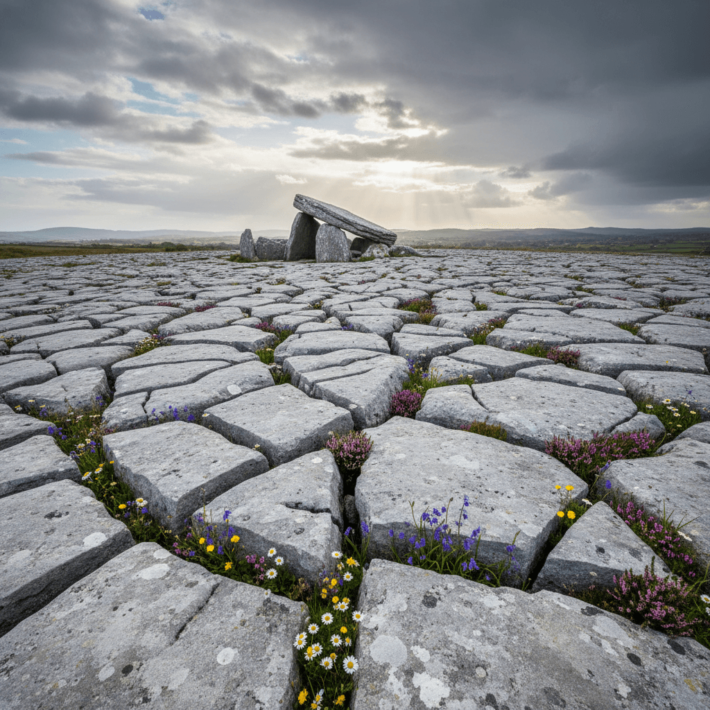
- Ancient mystery - Stone circles and megalithic tombs
- Forest adventure - Walking and cycling trails
- Dark skies - OM Dark Sky Park and Observatory
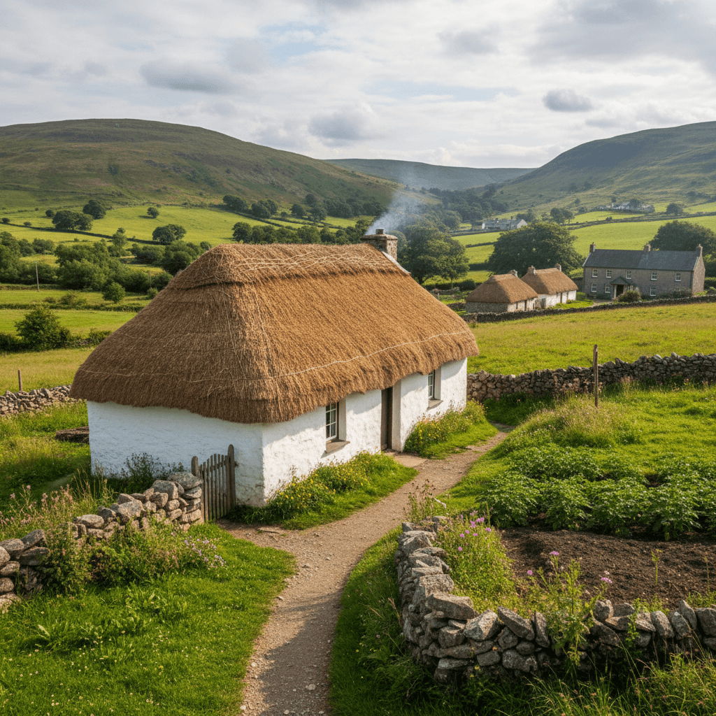
- Authentic Ulster - Traditional farming communities
Where to Stay
This 85-kilometre loop starts from Cookstown on the eastern flank of the Sperrins, heads west through Beaghmore Stone Circles and Davagh Forest to Gortin and Barnes Gap, then returns via the Sperrin Heritage Centre. There are virtually no overnight options within the mountains, so your base needs to be one of the gateway towns on the perimeter. Derry, the closest major centre, puts you within an hour of every stop on the route.
Derry
Derry's walled city is about 50 minutes northwest of Cookstown and slightly closer to the Sperrin Heritage Centre at Cranagh. Basing yourself here makes sense if you are also exploring the Sperrins Scenic Drive or the north coast, since both routes fan out from the same city. After a day among the stone circles, dark-sky forests, and lonely mountain passes, Derry's restaurants and live music scene provide a sharp contrast.
The Route
Starting from Cookstown
Begin in this market town known for its exceptionally wide main street. The Burnavon Arts Centre hosts cultural events.
Beaghmore Stone Circles
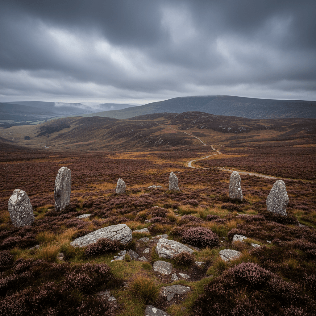
One of Ireland's most remarkable prehistoric sites - seven stone circles, stone rows, and cairns dating from the Bronze Age (1600-800 BC). The alignments may relate to astronomical events. Best visited at dawn or dusk for atmospheric lighting.
Davagh Forest
Home to the OM Dark Sky Park and Observatory - one of Europe's top stargazing destinations. The forest also offers:
- Mountain bike trails (14km trail network)
- Walking routes through ancient woodland
- Wildlife watching (red squirrels, crossbills)
Gortin
A pleasant village at the foot of the mountains. The Sperrins Hillwalking Centre provides information on routes in the area.
Gortin Glen Forest Park
A scenic 5-mile forest drive with walking trails, a deer enclosure, and picnic areas. Lady's View offers panoramic vistas over seven counties on clear days.
Barnes Gap
Cross the mountain pass at the heart of the Sperrins. This was historically an important route through the mountains. The views from the top are spectacular.
Plumbridge
A traditional Ulster village where the Glenelly and Owenkillew rivers meet. Good stopping point for refreshments.
Sperrin Heritage Centre (Cranagh)
Learn about the area's history, culture, and gold-panning tradition. Try panning for gold - you're likely to find real flakes!
Return via Draperstown
This planned Plantation town sits at the eastern edge of the Sperrins, completing the circuit.
Walking Options
Slieve Gallion
- Distance: 7km return
- Time: 3 hours
- Difficulty: Moderate
- Highlights: Summit cairn, panoramic views
Gortin Glen Red Trail
- Distance: 8km
- Time: 2.5 hours
- Difficulty: Moderate
- Highlights: Forest and open mountain
Barnes Gap Circular
- Distance: 5km
- Time: 2 hours
- Difficulty: Moderate
- Highlights: Mountain pass, heather moorland
Stargazing at OM Dark Sky Park
The Sperrins have Ireland's darkest skies outside remote Donegal. The observatory offers:
- Regular public observing sessions
- Planetarium shows
- Astrophotography workshops
- Self-guided night-sky trails
Tips:
- Book observatory events in advance
- Check moon phase - new moon is darkest
- Allow 20 minutes for eyes to adjust to darkness
- Bring warm clothes - it's always cold at night
Practical Tips
- Fuel up in Cookstown or Omagh - No stations in the mountains
- Download offline maps - Mobile signal is unreliable
- Beaghmore access road is narrow - Drive carefully
- Mountain weather is unpredictable - Always bring waterproofs
- Few facilities in the mountains - Pack food and water
Wildlife
The Sperrins support:
- Red grouse - listen for their distinctive call
- Hen harrier - rare raptor of the uplands
- Irish hare - abundant in the heather
- Red squirrels - in pine forests
- Crossbills - look for them in Davagh Forest
Before You Drive This Route
At 97km the Tyrone Sperrin Heartland looks like a 2.5 hours drive on paper. Allow 1 day and you will actually see it. The Irish driving rules and road signs guide covers speed limits, signage and the penalty points system, which is worth ten minutes before you set off. This one is entirely in Northern Ireland, so there are no tolls and distances are signed in miles rather than kilometres; the Irish toll roads guide covers the border crossing if you are driving up from the Republic. Most visitors hire at the airport; our guide to renting a car in Ireland covers deposits, excess and what to check before you drive off the lot. More drives in the same corner of the country are on the County Tyrone page, and the Sperrins Scenic Drive pairs naturally with this one.
Frequently asked questions
Tap a question to expand the answer.
QHow long does the Tyrone Sperrin Heartland take to drive?▼
QCan you drive the Tyrone Sperrin Heartland in one day?▼
QWhich direction is best to drive the Tyrone Sperrin Heartland?▼
QIs the Tyrone Sperrin Heartland suitable for nervous drivers or large vehicles?▼
Need a Car? Try GoCar
Flexible car sharing across Ireland. Get €25 off your first trip.
Register with GoCarCompare car rental options →Hiring instead? You're liable for the first €1,500–€3,000 of damage. Read up on car hire excess insurance before you book.
Fuel stops on this route
Towns on the route with filling stations. Rural stations often close early, so top up before a long empty stretch.
- Cookstown
- Plumbridge
More routes you'll love
Hand-picked drives with a similar vibe.