Ring of Gullion
Armagh
Ring of Gullion at a glance
- Distance
- 37 km
- Driving time
- 1 hourAllow 1 day
- Best direction
- Newry → Forkhill
- Best season
- Spring, Summer and Autumn
- Nearest airport
- Belfast International~63 km away
- Fuel estimate
- ~€42.4 L at €1.75/L
Fuel estimate assumes 6.5 L/100km and an average Republic of Ireland petrol pump price of €1.75 per litre (AA Ireland, July 2026) — see the Ireland fuel price guide for current rates.
About This Route
The Ring of Gullion is a geological wonder - a 60-million-year-old volcanic ring dyke surrounding Slieve Gullion mountain. This circular drive explores Ireland's first Area of Outstanding Natural Beauty designated specifically for its geology, plus a wealth of myths and ancient monuments.
Why Drive the Ring of Gullion?
This compact route delivers big on atmosphere:
- Unique geology - The best-preserved ring dyke in Europe
- Ancient mythology - Land of Cú Chulainn and the goddess Macha
- Neolithic monuments - Including Ireland's highest passage tomb
- Walking opportunities - Slieve Gullion summit trail
- Authentic Ireland - Away from the tourist crowds
Where to Stay
The Ring of Gullion is a tight 37km loop south of Newry, circling Slieve Gullion through Killeavy, Mullaghbane, and Forkhill. The drive itself is a day's work when you factor in the summit hike and the forest park trails. Carlingford, perched on the lough just east of the ring, is the nearest base town with a strong accommodation offering.
Carlingford
Carlingford sits on Carlingford Lough roughly 20 minutes from Newry and within 30 minutes of the Slieve Gullion Forest Park entrance. After a morning on the summit trail or the Giant's Lair, you can be back in Carlingford for an afternoon exploring its medieval castle and narrow streets. The town's boutique hotels and seafood restaurants make it a far more atmospheric overnight than Newry's city-centre options.
The Legend
Slieve Gullion is steeped in mythology. The summit lake is said to be where the witch Milucra turned the hero Fionn mac Cumhaill into an old man. The Cailleach Beara (the hag of winter) is also associated with the mountain.
The Route
Starting from Newry
Begin in Newry, a vibrant city straddling the border. Head south through Forkhill.
Slieve Gullion Forest Park
The centrepiece of the drive. The park offers:
- Slieve Gullion Trail - A challenging 10km loop to the summit (573m)
- Scenic drive - An 8-mile tarmac road through the forest
- Giant's Lair - A mythological play trail perfect for children
- Adventure Playpark - Modern playground with zip lines
- Courtyard Centre - Cafe and exhibitions
The Summit
If you hike to the top, you'll find two ancient cairns including a passage tomb - at 573m, it's the highest surviving passage tomb in Ireland. The views on clear days stretch across Ulster.
Killeavy Churches
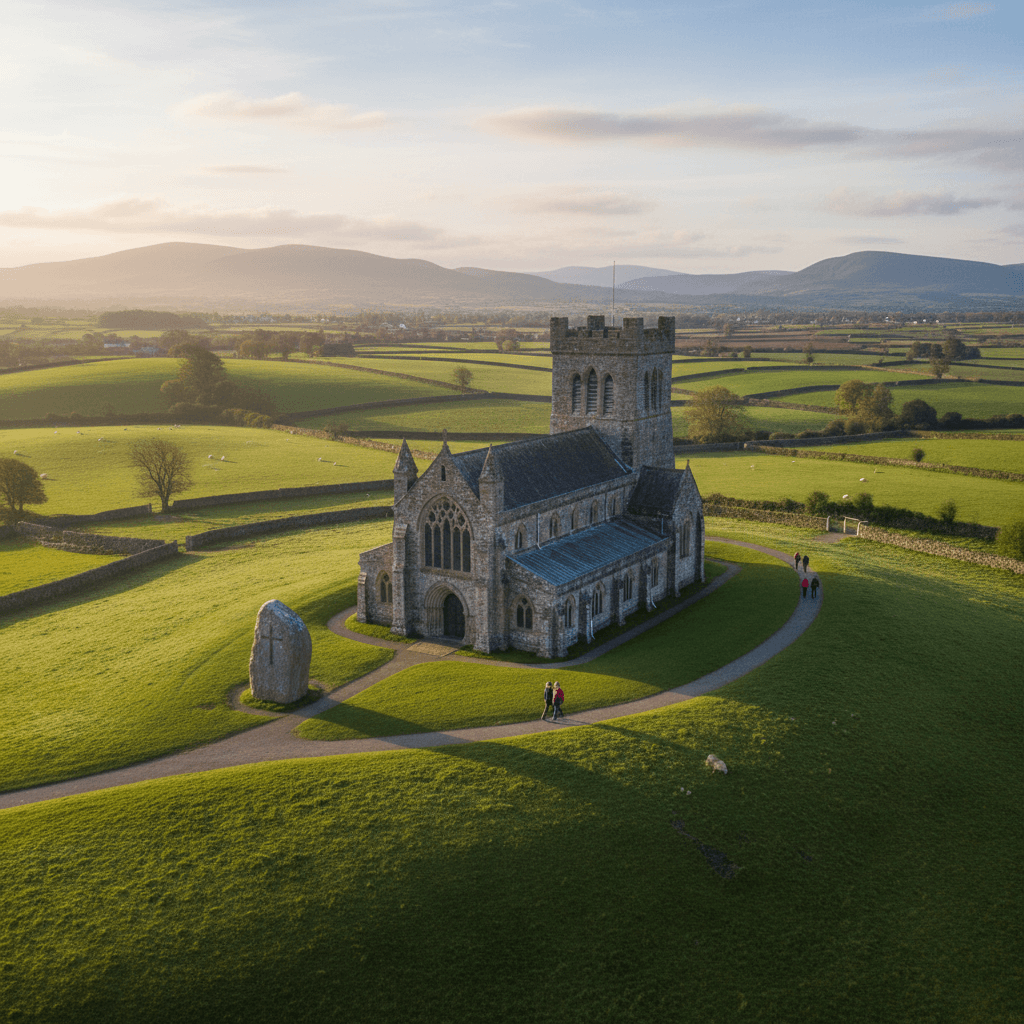
Two medieval churches sharing a graveyard - one 10th century, one 15th century. Atmospheric and free to visit.
Ballymacdermot Court Tomb
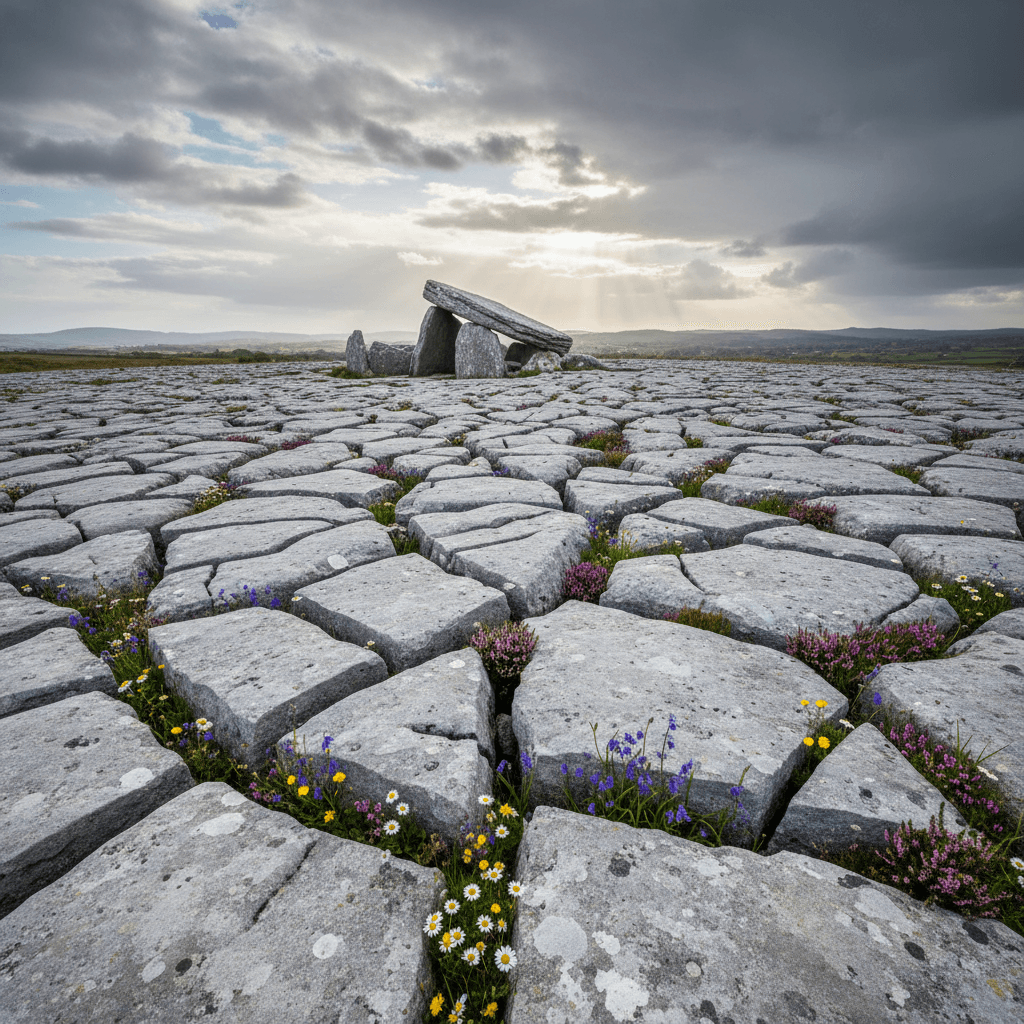
A 6,000-year-old Neolithic court tomb, remarkably intact. One of Ireland's finest examples.
Cam Lough
A beautiful upland lake perfect for a peaceful stop.
Jonesborough
A short detour east for the Sunday market. Jonesborough is in County Armagh, about a kilometre inside Northern Ireland, so nothing changes: still miles, still pounds. Return north to Newry from here.
Walking Options
Slieve Gullion Summit Trail
- Distance: 10km loop
- Time: 3-4 hours
- Difficulty: Moderate/Challenging
- Highlights: Summit cairns, lake, panoramic views
Giant's Lair
- Distance: 2km
- Time: 1 hour
- Difficulty: Easy (family-friendly)
- Highlights: Story stations, sculptures, play areas
Practical Tips
- Start early for the summit hike - Allow 4 hours total
- The scenic drive is one-way - Follow signs carefully
- Check weather for summit - Cloud can descend quickly
- The loop stays in Northern Ireland - Miles and pounds throughout, though the border is never far away
- Forest park has parking fees - Pay at entrance
Best Seasons
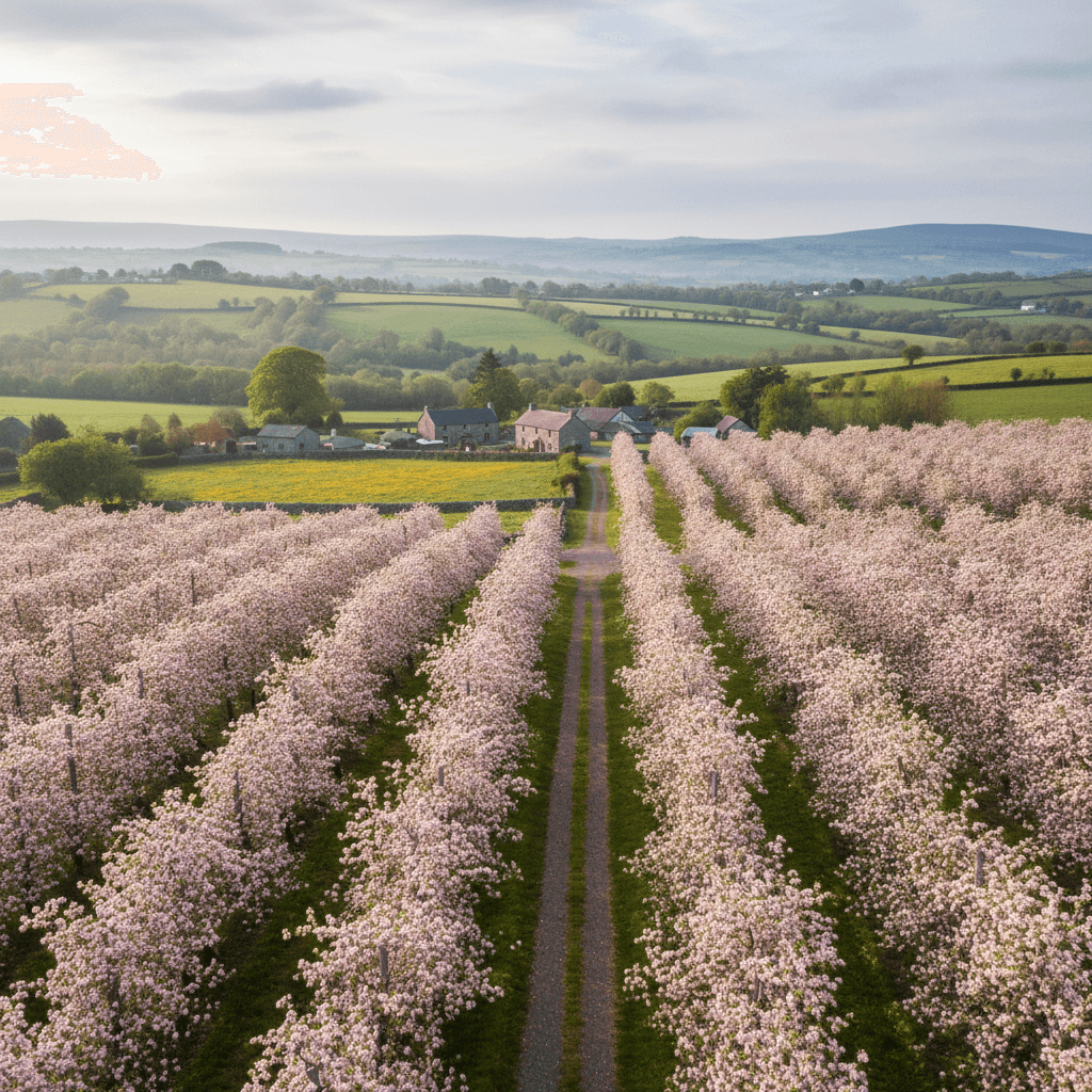
- Spring - Gorse in bloom, wildflowers
- Summer - Longest days for summit hikes
- Autumn - Heather on the hills, golden forests
- Winter - Atmospheric but check road conditions
Before You Drive This Route
At 37km the Ring of Gullion looks like a 1 hour drive on paper. Allow 1 day and you will actually see it. The Irish driving rules and road signs guide covers speed limits, signage and the penalty points system, which is worth ten minutes before you set off. This one is entirely in Northern Ireland, so there are no tolls and distances are signed in miles rather than kilometres; the Irish toll roads guide covers the border crossing if you are driving up from the Republic. Most visitors hire at the airport; our guide to renting a car in Ireland covers deposits, excess and what to check before you drive off the lot. More drives in the same corner of the country are on the County Armagh page, and the Orchard County Food Trail pairs naturally with this one.
Frequently asked questions
Tap a question to expand the answer.
QHow long does the Ring of Gullion take to drive?▼
QCan you drive the Ring of Gullion in one day?▼
QWhich direction is best to drive the Ring of Gullion?▼
QIs the Ring of Gullion suitable for nervous drivers or large vehicles?▼
Need a Car? Try GoCar
Flexible car sharing across Ireland. Get €25 off your first trip.
Register with GoCarCompare car rental options →Hiring instead? You're liable for the first €1,500–€3,000 of damage. Read up on car hire excess insurance before you book.
Fuel stops on this route
Towns on the route with filling stations. Rural stations often close early, so top up before a long empty stretch.
- Newry
More routes you'll love
Hand-picked drives with a similar vibe.