Glen of Aherlow & Galtee Mountains
Tipperary
About This Route
The Glen of Aherlow is Tipperary's hidden valley - a scenic route beneath the Galtee Mountains, Ireland's highest inland range. This quiet glen offers walking trails, mountain views, and the Ireland that tourism forgot.
Why This Route?
The Glen of Aherlow delivers mountain scenery:
- Galtee Mountains - Ireland's highest inland range
- Scenic glen - 16km of valley views
- Walking paradise - Trails for all abilities
- Christ the King statue - Panoramic viewpoint
- Undiscovered - Few tourists venture here
The Route
Starting from Tipperary Town
Gateway to the Glen:
- Traditional market town
- "It's a Long Way to Tipperary" connection
- Good facilities
- Heritage trail
Bansha
Village at the Glen's entrance:
- Gateway to Aherlow
- Traditional pubs
- Walking trail access
Glen of Aherlow
The scenic drive:
The Glen Road (R663)
16km through the valley:
- Galtee views south
- Slievenamuck ridge north
- Multiple viewpoints
- Walking access points
Christ the King Statue
Hilltop monument:
- Short walk from road
- Panoramic views
- The whole glen spread below
- Peaceful setting
Lake Curra
Small lake with:
- Picnic area
- Walking trails
- Mountain backdrop
- Quiet setting
Galtee Mountains
Ireland's highest inland range:
The Mountains
- Galtymore (919m) - Highest peak
- Rocky ridges
- Glacial lakes (coums)
- Serious walking terrain
Walking
Multiple options:
- Forest walks (easy)
- Lough Muskry (moderate)
- Galtymore summit (challenging)
- Lake trails
Rossadrehid
Tiny village in the Glen:
- Traditional atmosphere
- Walking access
- End of the road feeling
Mitchelstown Caves (detour to Cork border)
Impressive show caves:
- Calcite formations
- Guided tours
- Year-round
- Allow 1 hour
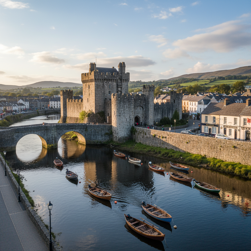
Return via Cahir
Through the valley to Cahir town (see Rock of Cashel route).
The Galtee Mountains
Character
Ireland's highest inland range:
- Seven peaks over 700m
- Rocky terrain
- Glacial coums (corries)
- Mountain lakes
Galtymore
The highest peak (919m):
- Challenging climb
- Clear day views to sea
- Allow 4-5 hours
- Proper gear essential
Lough Muskry
Mountain lake (coum):
- Popular walk destination
- 3-hour round trip
- Spectacular setting
- Well-trodden path
Walking Options
Easy
- Forest trails from car parks
- Glen road walking
- Lake Curra circuit
Moderate
- Christ the King loop
- Lough Muskry
- Knockastakeen
Challenging
- Galtymore summit
- Galtee ridge walks
- Black Road traverse
Practical Tips
- Mountain weather - Changes quickly; carry waterproofs
- Galtymore - Only for experienced hillwalkers
- Glen road - Narrow in places; drive carefully
- Facilities - Limited; bring supplies
- Mitchelstown Caves - Constant 12°C; bring layers
Need a Car? Try GoCar
Flexible car sharing across Ireland. Get €25 off your first trip.
Register with GoCarCompare car rental options →Recommended fuel stops along this route:
Fuel stations are available in major towns along the route.