Slieve League & Southwest Donegal
Donegal
About This Route
Southwest Donegal hides Europe's highest accessible sea cliffs at Slieve League - dwarfing the Cliffs of Moher at nearly 600 metres. This route explores the wild coastline, traditional Gaeltacht villages, and Ireland's most spectacular cliff walk.
Why This Route?
Southwest Donegal delivers drama:
- Slieve League cliffs - Nearly three times higher than Moher
- Unspoiled coastline - Beaches, sea stacks, and hidden coves
- Gaeltacht culture - Irish language communities
- Traditional crafts - Donegal tweed weavers at work
- Fewer tourists - A fraction of southwest Ireland's visitors
Slieve League
The statistics are staggering:
- Height: 601 metres (1,972 feet)
- Drop: Nearly 600 metres to the sea
- Comparison: The Cliffs of Moher are 214 metres
These are among the highest sea cliffs in Europe - only Norway's fjord cliffs are higher on the continent.
The Route
Starting from Donegal Town
Begin in this historic town at the mouth of Donegal Bay. The castle and Diamond (town square) are worth exploring before heading west.
Mountcharles & Frosses
Coastal villages with excellent beaches. The views south to Ben Bulben in Sligo appear as you drive west.
Killybegs
Ireland's premier fishing port - watch the trawlers unload at the busy harbour. The Carpet Factory produces beautiful hand-tufted rugs (tours available).
Kilcar
A traditional Gaeltacht village at the heart of Donegal's tweed industry. Studio Donegal offers tours of tweed production.
Teelin
The gateway to Slieve League. This small harbour village is the starting point for most cliff approaches.
Slieve League Cliffs
Two main ways to experience the cliffs:
Viewing Points (Easy)
Drive to the Bunglas viewpoint for jaw-dropping panoramas. The viewing platforms let you appreciate the scale without hiking.
Pilgrim Path Walk (Moderate-Challenging)
The walking trail from Teelin follows the ancient pilgrimage route:
- Distance: 11km linear (or return)
- Time: 4-6 hours
- Difficulty: Moderate/Challenging
- Highlights: One Man's Pass, Eagle's Nest, summit views
One Man's Pass is the famous narrow ridge - exposed but not technical in good conditions.
Glencolmcille
A remote village named after St Columba. The Folk Village is an excellent open-air museum showing life in this area over the centuries. The village hosts a traditional music festival (Scoil Samhraidh) each summer.
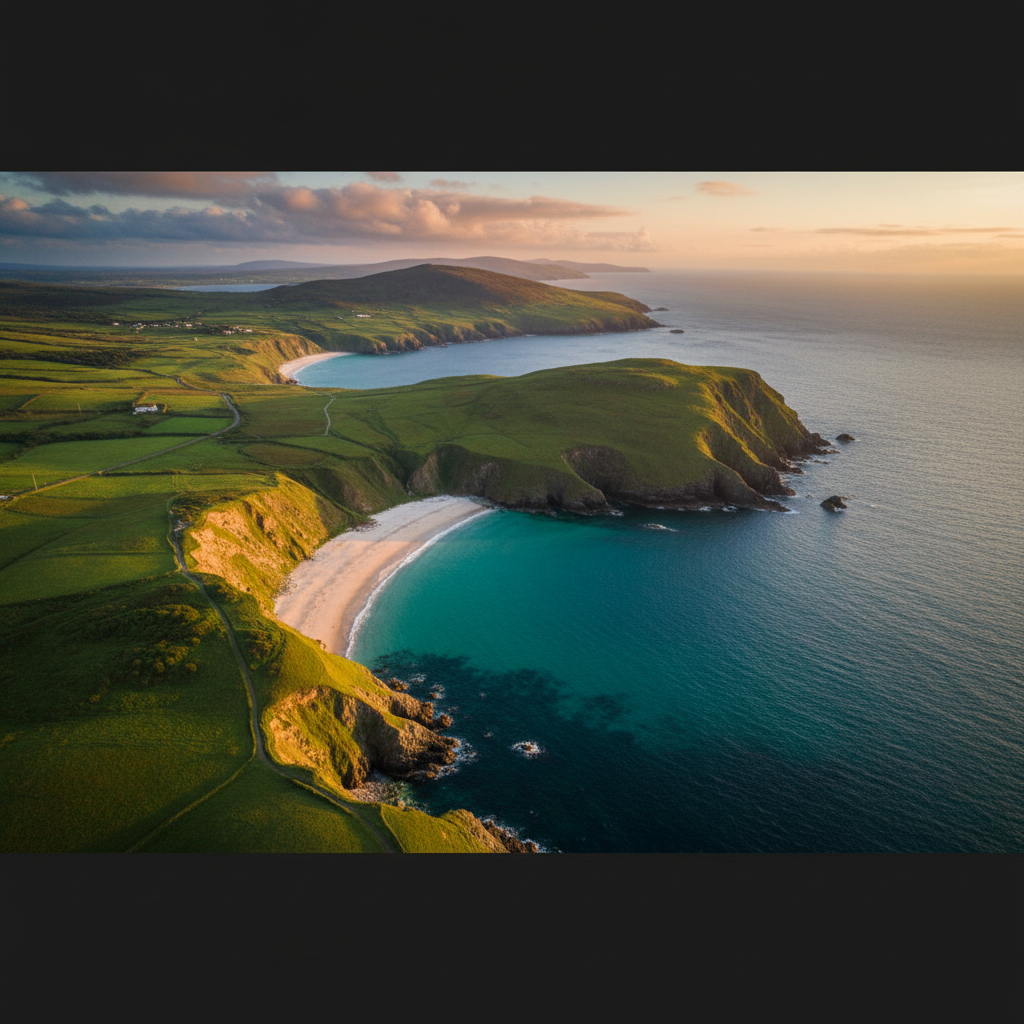
Malin Beg
One of Ireland's most beautiful cove beaches - Silver Strand (Trá Bhán). The walk down is steep but worth every step.
Glengesh Pass
Return via this dramatic mountain pass with hairpin bends and valley views.
Ardara
The "capital" of Donegal's handwoven tweed industry. Multiple shops sell genuine local tweed, and you can often see weavers at work.
Walking Slieve League
Pilgrim Path (Full Traverse)
- Start: Teelin (shrine car park)
- End: Bunglas (or return)
- Distance: 11km one way
- Time: 5-6 hours
- Difficulty: Challenging
- Highlights: One Man's Pass, Eagle's Nest, summit
Bunglas to One Man's Pass
- Start: Bunglas car park
- Return: Same way
- Distance: 4km return
- Time: 2-3 hours
- Difficulty: Moderate
- Note: Exposure at One Man's Pass
Cliff View Walk
- Start: Bunglas car park
- Loop: Viewing platforms
- Distance: 1km
- Time: 30 minutes
- Difficulty: Easy
Practical Tips
- Bunglas road is narrow - Single track with passing places
- One Man's Pass - Don't attempt in wind, rain, or poor visibility
- Parking charges - Pay at Bunglas car park
- Silver Strand - The return climb is steep
- Gaeltacht areas - Signs primarily in Irish
- Tweed shopping - Quality varies; Studio Donegal and Ardara shops are reliable
Best Light
- Morning - Cliffs face southeast; morning light is best for photography
- Evening - Sunset from Bunglas can be spectacular
- Avoid midday - Cliffs often in their own shadow
Need a Car? Try GoCar
Flexible car sharing across Ireland. Get €25 off your first trip.
Register with GoCarCompare car rental options →Recommended fuel stops along this route:
Fuel stations are available in major towns along the route.