North Mayo & Céide Fields
Mayo
North Mayo & Céide Fields at a glance
- Distance
- 165 km
- Driving time
- 3.5 hoursAllow 1-2 days
- Best direction
- Ballina → Belderrig
- Best season
- Spring, Summer and Autumn
- Nearest airport
- Ireland West (Knock)~63 km away
- Fuel estimate
- ~€1910.7 L at €1.75/L
Fuel estimate assumes 6.5 L/100km and an average Republic of Ireland petrol pump price of €1.75 per litre (AA Ireland, July 2026) — see the Ireland fuel price guide for current rates.
About This Route
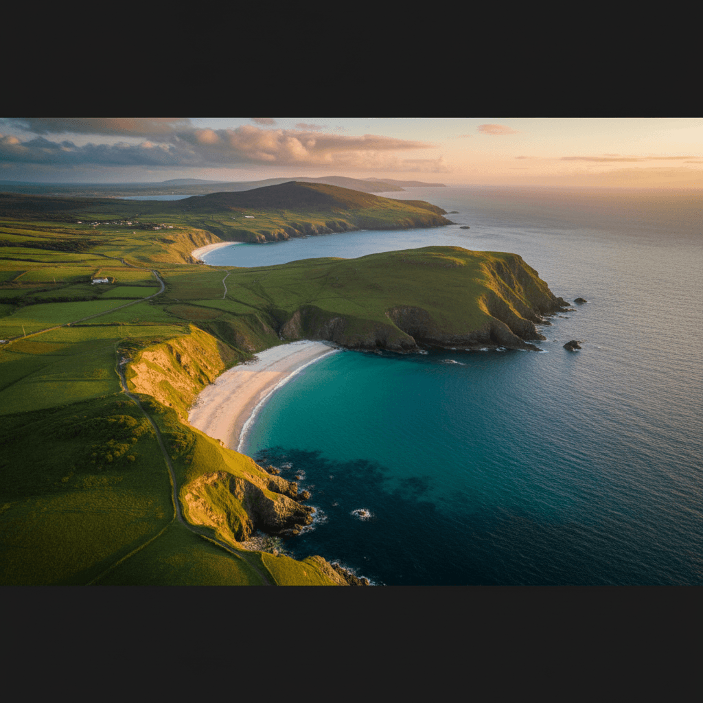
North Mayo is Ireland's empty quarter - vast boglands, remote coastline, and an archaeological discovery that rewrote prehistory. The Céide Fields reveal a 5,000-year-old farming landscape preserved beneath the peat, while the coast offers dramatic cliffs and deserted beaches.
Why This Route?
North Mayo delivers genuine remoteness:
- Céide Fields - World's oldest known field systems
- Empty landscapes - Few tourists, vast horizons
- Dramatic cliffs - Rival the Cliffs of Moher
- Bogland beauty - Atmospheric peatlands
- Belmullet Peninsula - Wild Atlantic outpost
Where to Stay
At 165km through some of Ireland's most remote terrain, this route benefits from an overnight to avoid rushing between the Ceide Fields, Downpatrick Head, and the Mullet Peninsula. The drive loops out from Ballina along the north coast and returns via Crossmolina, making Ballina the logical single base.
Ballina
Ballina is north Mayo's largest town, with a solid selection of hotels and guesthouses along the River Moy. It sits at the route's start and finish, so you can head north to Killala and the Ceide Fields visitor centre on day one, then tackle the Belmullet Peninsula and Wild Nephin country on day two. The town's salmon-fishing heritage means good restaurants, and you will find fuel and supplies here that are scarce further west.
The Route
Starting from Ballina
County Mayo's largest town:
- River Moy (famous for salmon)
- Cathedral
- Good facilities
- Jackie Clarke Collection (museum)
Killala
Historic town with:
- Round tower
- 1798 Rebellion landing site (French invasion)
- Quiet harbour
- Souterrain passages
Ballycastle
A village with character:
- Crossroads of north Mayo
- Good base for exploration
- Traditional atmosphere
Downpatrick Head
Dramatic coastal headland:
- Dún Briste sea stack (cut off by storms in 1393)
- Blowhole (Poll na Seantainne)
- Cliff walks
- Free access
Céide Fields
The centrepiece of north Mayo:
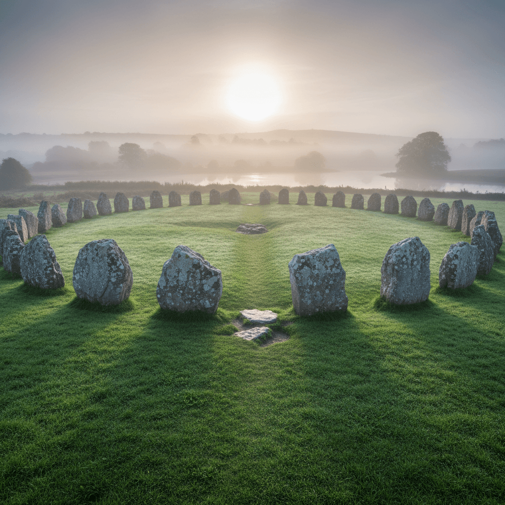
- 5,000-year-old Stone Age farm landscape
- Preserved under blanket bog
- Award-winning visitor centre
- Guided tours of the site
Belderrig Valley
Secondary archaeological site:
- Walking trails
- Bog restoration projects
- Prehistoric remains
Belmullet
The peninsula's main town:
- Services and facilities
- Bridge to the Mullet Peninsula
- Fishing community
Mullet Peninsula
Remote western outpost:
- Blacksod Bay (lighthouse, D-Day weather forecast origin)
- Cross and Elly beaches
- Wild and windswept
- Birdwatching
Bangor Erris
Isolated village in the bog:
- Traditional character
- Mountain views
- Wilderness access
Return via Crossmolina
Through the Nephin Mountains:
- Wild Nephin National Park access
- Mountain views
- Quiet roads
Céide Fields
The Discovery
Local schoolteacher Patrick Caulfield noticed stone walls beneath the bog in the 1930s. His son, archaeologist Séamus Caulfield, later excavated the site.
What's Here
- Stone-walled fields covering 10 sq km
- Built around 3000 BC
- Older than the pyramids
- Houses, tombs, and enclosures
The Visitor Centre
Award-winning building by OPW:
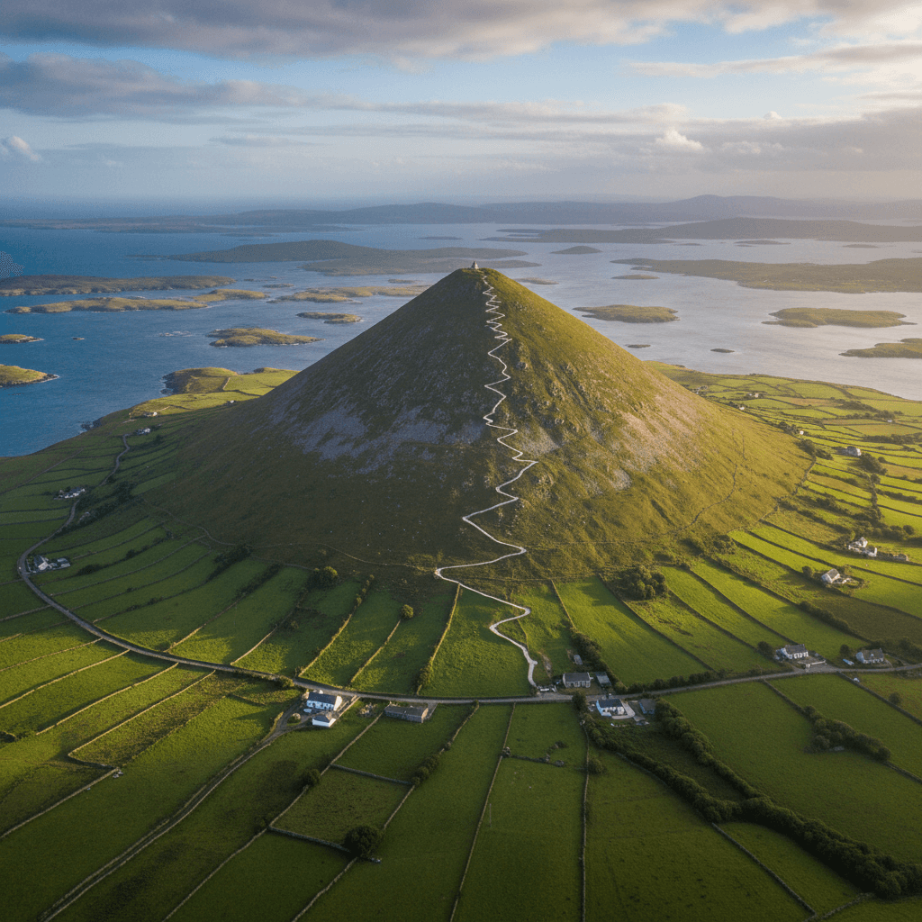
- Pyramid design echoing the landscape
- Exhibition on prehistoric life
- Audio-visual presentation
- Guided walks on the bog
Why It Matters
The fields prove organised farming existed in Ireland 5,000+ years ago - rewriting assumptions about "primitive" prehistoric life.
Downpatrick Head
Dún Briste
The 50m sea stack was once connected to the mainland. Local legend says St Patrick banished a pagan king to the rock.
The Blowhole
Poll na Seantainne shoots spray high in rough weather. Fenced for safety but impressive.
Walking
Cliff-edge path with Atlantic views. Take care near edges.
Wild Nephin National Park
Ireland's newest national park:
Character
- Blanket bog
- Conifer forest (being removed for restoration)
- Dark sky reserve
- True wilderness
Access
- Limited access points
- Walking trails from Bangor
- Ballycroy visitor centre (south of this route)
Practical Tips
- Céide Fields - Allow 2 hours for full visit; check opening times
- Fuel - Fill up in Ballina or Belmullet; few stations between
- Weather - North Mayo catches Atlantic weather; be prepared
- Roads - Some narrow sections; take your time
- Facilities - Limited in remote areas; bring supplies
Before You Drive This Route
The North Mayo & Céide Fields is 165km and about 3.5 hours of driving, though 1-2 days is the honest figure once you factor in the stops. Visitors who have never driven on the left should start with driving on the left in Ireland; the Irish roundabout rules guide covers the other thing that catches people out. At this length you will be filling the tank, and where you do it matters more than when — see where to buy fuel in Ireland. Automatic or manual is the decision that catches most visitors out — manual versus automatic has the honest answer for Irish roads. More drives in the same corner of the country are on the County Mayo page, and the Achill Island & Wild Atlantic Mayo pairs naturally with this one.
Frequently asked questions
Tap a question to expand the answer.
QHow long does the North Mayo & Céide Fields take to drive?▼
QCan you drive the North Mayo & Céide Fields in one day?▼
QWhich direction is best to drive the North Mayo & Céide Fields?▼
QIs the North Mayo & Céide Fields suitable for nervous drivers or large vehicles?▼
Need a Car? Try GoCar
Flexible car sharing across Ireland. Get €25 off your first trip.
Register with GoCarCompare car rental options →Hiring instead? You're liable for the first €1,500–€3,000 of damage. Read up on car hire excess insurance before you book.
Fuel stops on this route
Towns on the route with filling stations. Rural stations often close early, so top up before a long empty stretch.
- Ballycastle
- Bangor Erris
- Ballina
More routes you'll love
Hand-picked drives with a similar vibe.