Leitrim Hills & Glencar Valley
Leitrim
Leitrim Hills & Glencar Valley at a glance
- Distance
- 62 km
- Driving time
- 1.5 hoursAllow 1 day
- Best direction
- Manorhamilton → Tullaghan
- Best season
- Spring, Summer and Autumn
- Nearest airport
- Ireland West (Knock)~61 km away
- Fuel estimate
- ~€74 L at €1.75/L
Fuel estimate assumes 6.5 L/100km and an average Republic of Ireland petrol pump price of €1.75 per litre (AA Ireland, July 2026) — see the Ireland fuel price guide for current rates.
About This Route
Leitrim's uplands reveal a secret Ireland - forested hills, hidden glens, and Glencar's waterfall that captivated Yeats. This route climbs from the drumlins through mountain passes to the dramatic landscapes where Leitrim meets Sligo and Fermanagh.
Why This Route?
Leitrim's hills offer genuine discovery:
- Glencar Waterfall - 50-foot cascade in a hidden valley
- Mountain passes - Winding roads through uplands
- Genuine remoteness - Ireland's least touristed county
- Forest parks - Walking and cycling trails
- Border country - Where three counties meet
Where to Stay
This 62km day circuit winds through Leitrim's remote uplands from Manorhamilton to Glencar Waterfall, Glenade, Kinlough, and Dromahair before looping back. The route passes through Ireland's least populated county, where accommodation is thin on the ground. Sligo, just 30 minutes west of Manorhamilton, is the nearest town with a solid range of hotels and guesthouses, and it offers its own Yeats-country atmosphere that complements a day among Leitrim's hills.
Sligo
Sligo sits at the crossroads between Leitrim's hills and the Atlantic coast, making it a strong base for this drive. Glencar Waterfall -- the one Yeats immortalised -- is less than 20 minutes east of the town, and from there you can continue into the Glenade valley, Kinlough, and Lough Melvin before returning via Dromahair and Lough Gill. Sligo's restaurants, traditional music pubs, and cultural attractions round out the day.
The Route
Starting from Manorhamilton
Leitrim's northern hub:
- Market town character
- Mountain backdrop
- Good facilities
- Starting point for adventures
Glencar Valley
The hidden glen:
The Waterfall
50 feet of falling water:
- Featured in Yeats's "The Stolen Child"
- Easy walk from car park
- Best after rain
- Viewing platform
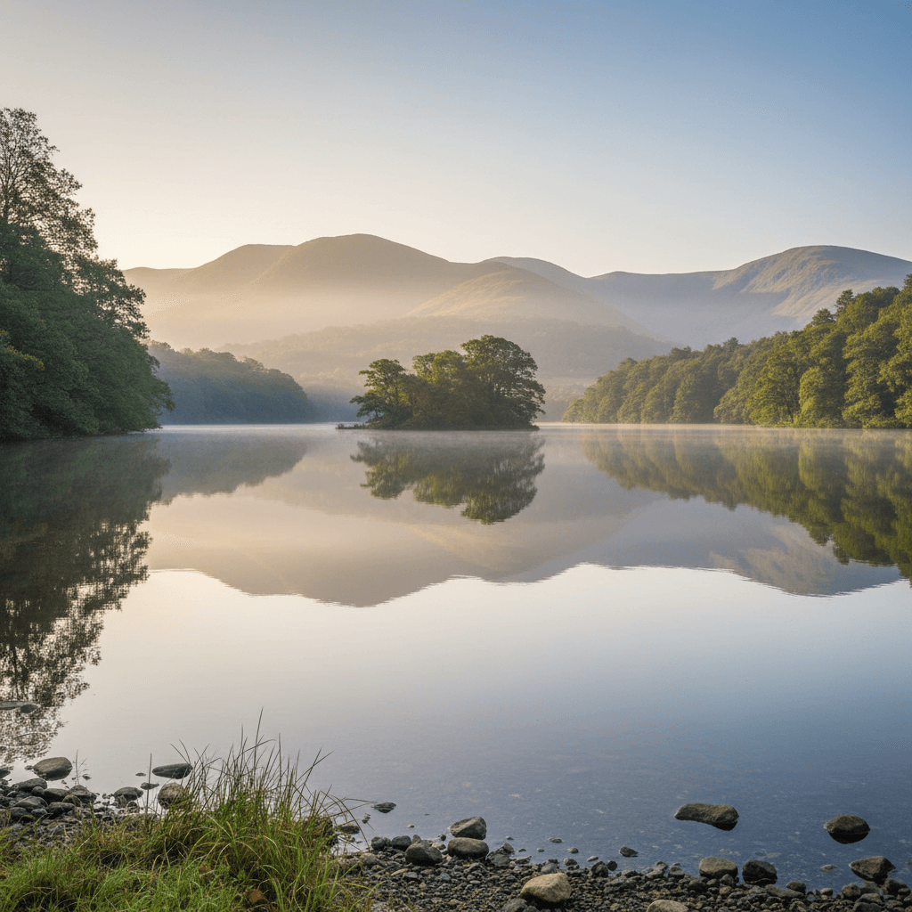
The Lough
Glencar Lough beneath the cliffs:
- Mountain reflections
- Quiet atmosphere
- Picnic area
Glenade Valley
Parallel valley to the north:
- Dramatic U-shaped glen
- Steep mountain walls
- Very quiet
- Single-track road
Kinlough
Border village with:
- Traditional character
- Close to Lough Melvin
- Good walking access
Lough Melvin
Cross-border lake:
- Famous for unique trout species (sonaghan, gillaroo)
- Fishing heritage
- Mountain backdrop
- Quiet shores
Rossinver
Remote village with:
- Organic centre
- Mountain access
- Alternative community
- Traditional character
Lurganboy
The back road to Dromahair through:
- Forested uplands
- Mountain views
- Very quiet roads
Dromahair
Pretty village on the Bonet River:
- Creevelea Abbey ruins
- Traditional pubs
- Lough Gill access
- Good stop
Return via Manorhamilton
Complete the circuit through the hills.
Glencar Waterfall
The Setting
A hanging valley cut by glaciers, with the waterfall tumbling from the upper level.
Yeats's Poem
"The Stolen Child" references: "Where the wandering water gushes / From the hills above Glen-Car"
Visiting
- Car park at waterfall
- Short walk to viewing area
- Can continue to lake
- No admission charge
Mountain Walking
Truskmore
The county's highest peak (647m):
- Accessed from Gleniff
- Challenging terrain
- Limestone pavement summit
- Panoramic views
Arroo Trail
Waymarked trail near Kinlough:
- Mountain loop
- Moderate difficulty
- Great views
Sliabh an Iarainn
Iron Mountain from Drumshanbo:
- Mining heritage
- Waymarked trails
- Historical interest
Gleniff Horseshoe
Dramatic natural amphitheatre:
The Drive
8km loop road beneath cliff walls:
- Single-track
- Stunning scenery
- Cave access (Diarmuid & Grainne's Cave)
- Best driven slowly
Walking
Trails into the horseshoe and up to the plateau.
Practical Tips
- Glencar - Waterfall best after rain
- Roads - Mountain roads narrow; take care
- Gleniff - Single-track loop, two-way traffic; use the pull-ins and be ready to reverse
- Weather - Mountains catch rain; be prepared
- Facilities - Limited in remote areas; bring supplies
Before You Drive This Route
The Leitrim Hills & Glencar Valley is 62km and about 1.5 hours of driving, though 1 day is the honest figure once you factor in the stops. Visitors who have never driven on the left should start with driving on the left in Ireland; the Irish roundabout rules guide covers the other thing that catches people out. For what a trip like this costs in 2026, from fuel to beds, see the budget guide. Automatic or manual is the decision that catches most visitors out — manual versus automatic has the honest answer for Irish roads. More drives in the same corner of the country are on the County Leitrim page, and the Carrick-on-Shannon & the Waterways pairs naturally with this one.
Frequently asked questions
Tap a question to expand the answer.
QHow long does the Leitrim Hills & Glencar Valley take to drive?▼
QCan you drive the Leitrim Hills & Glencar Valley in one day?▼
QWhich direction is best to drive the Leitrim Hills & Glencar Valley?▼
QIs the Leitrim Hills & Glencar Valley suitable for nervous drivers or large vehicles?▼
Need a Car? Try GoCar
Flexible car sharing across Ireland. Get €25 off your first trip.
Register with GoCarCompare car rental options →Hiring instead? You're liable for the first €1,500–€3,000 of damage. Read up on car hire excess insurance before you book.
Fuel stops on this route
Towns on the route with filling stations. Rural stations often close early, so top up before a long empty stretch.
- Kinlough
- Manorhamilton
More routes you'll love
Hand-picked drives with a similar vibe.