Glens of Antrim
Antrim
Glens of Antrim at a glance
- Distance
- 90 km
- Driving time
- 2 hoursAllow 1-2 days
- Best direction
- Larne → Ballycastle
- Best season
- Spring, Summer and Autumn
- Nearest airport
- Belfast International~41 km away
- Fuel estimate
- ~€105.9 L at €1.75/L
Fuel estimate assumes 6.5 L/100km and an average Republic of Ireland petrol pump price of €1.75 per litre (AA Ireland, July 2026) — see the Ireland fuel price guide for current rates.
About This Route
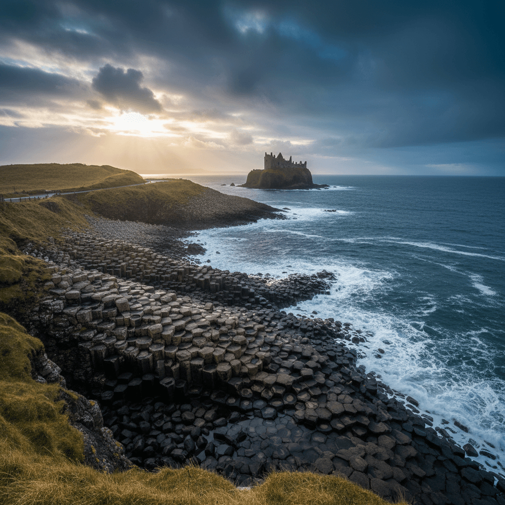
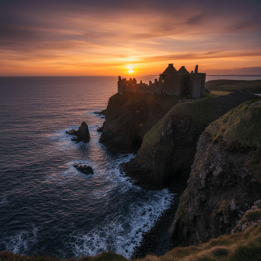
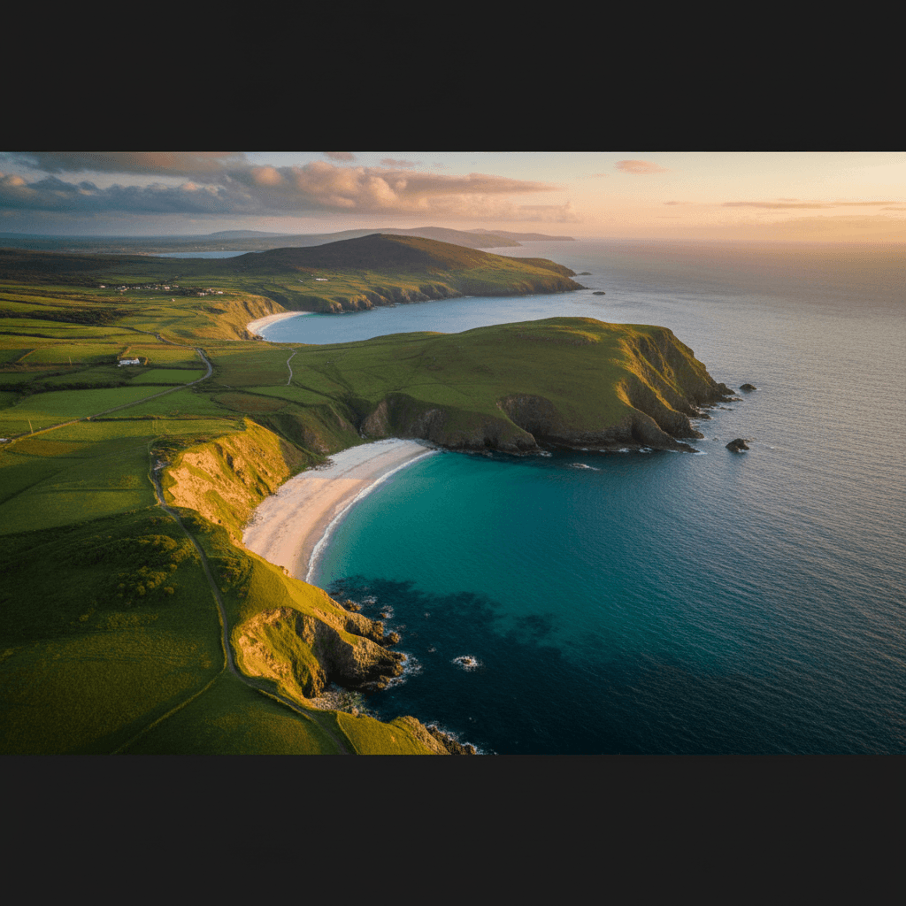
The Nine Glens of Antrim are among Ireland's best-kept secrets. These glacial valleys carve through the Antrim plateau, each with its own character - from lush waterfalls to dramatic coastal views. This route connects the most accessible glens along a stunning coastal road.
Why Drive the Glens?
While the Causeway Coast gets the headlines, the Glens of Antrim offer:
- Dramatic scenery - Glacial valleys meeting the sea
- Fewer crowds - A fraction of Giant's Causeway visitors
- Authentic villages - Cushendall, Cushendun, and Waterfoot
- Waterfalls - Including the stunning Glenariff "Queen of the Glens"
- Walking opportunities - Trails for all abilities in each glen
Where to Stay
This 90km coastal route traces the Antrim plateau from Larne north to Ballycastle, passing through the glacial valleys of Glenarm, Glenariff, Cushendall, and Cushendun before the dramatic Torr Head detour. The route is linear and best enjoyed at a relaxed pace over one to two days. Ballycastle at the northern end makes the strongest overnight base -- it is a proper seaside town with restaurants, pubs, and the gateway to Rathlin Island.
Ballycastle
Ballycastle sits where the Glens give way to the north Antrim coast, making it the natural finishing point and overnight base. From here you can explore Torr Head, visit Fair Head's cliffs, or catch the ferry to Rathlin Island. Cushendall and Cushendun are a short drive back south if you want a second morning among the inner glens, and Glenariff Forest Park is reachable within 40 minutes.
The Nine Glens
From south to north, the glens are:
- Glenarm - The southernmost, with a beautiful village and castle
- Glencloy - Small and pastoral
- Glenariff - "Queen of the Glens" with spectacular waterfalls
- Glenballyeamon - Remote and rugged
- Glenaan - Legendary home of Ossian, the warrior poet
- Glencorp - Wild and relatively unexplored
- Glendun - Notable for its viaduct
- Glenshesk - A hidden treasure
- Glentaisie - The northernmost, near Ballycastle
The Route
Starting from Larne
Begin at Larne, a ferry port with connections to Scotland, and head north on the A2 coast road.
Glenarm
Your first stop is this charming estate village. Glenarm Castle hosts a popular walled garden (open to visitors) and the village has excellent cafes.
Carnlough
A picturesque harbour village with a distinctive white limestone bridge. The Londonderry Arms Hotel was once owned by Winston Churchill's family.
Glenariff Forest Park
The highlight for many - a 1,000-hectare forest park with the famous Waterfall Walk. The 3-mile trail passes three waterfalls through lush woodland. Allow 2 hours.
Cushendall
Known as the "Capital of the Glens," this village is perfect for lunch. The Curfew Tower and traditional pubs make it worth exploring on foot.
Cushendun
A unique village with Cornish-style cottages designed by Clough Williams-Ellis (creator of Portmeirion). The caves here were used as a Game of Thrones filming location.
Torr Head
A spectacular detour to the closest point to Scotland - just 12 miles across the water. The narrow road isn't for nervous drivers, but the views are extraordinary.
Ballycastle
End your journey in this friendly seaside town, gateway to Rathlin Island.
Practical Tips
- Glenariff closes at dusk - Time your visit accordingly
- Torr Head road is single-track - Only attempt in good weather
- Cushendall has the best facilities - Good base for overnight stays
- Bring hiking boots - Many trails to explore
- Weather can close in quickly - Pack waterproofs
Best Photo Spots
- Glenariff waterfalls
- Cushendun caves
- Layd Church ruins near Cushendall
- Torr Head viewpoint
- Fair Head cliffs (accessible from Ballycastle)
Before You Drive This Route
At 90km the Glens of Antrim looks like a 2 hours drive on paper. Allow 1-2 days and you will actually see it. The Irish driving rules and road signs guide covers speed limits, signage and the penalty points system, which is worth ten minutes before you set off. This one is entirely in Northern Ireland, so there are no tolls and distances are signed in miles rather than kilometres; the Irish toll roads guide covers the border crossing if you are driving up from the Republic. Coastal weather changes faster than the forecast admits — the all-season packing guide covers what to have in the boot year-round. Most visitors hire at the airport; our guide to renting a car in Ireland covers deposits, excess and what to check before you drive off the lot. More drives in the same corner of the country are on the County Antrim page, and the Antrim Coast & Castles pairs naturally with this one.
Frequently asked questions
Tap a question to expand the answer.
QHow long does the Glens of Antrim take to drive?▼
QCan you drive the Glens of Antrim in one day?▼
QWhich direction is best to drive the Glens of Antrim?▼
QIs the Glens of Antrim suitable for nervous drivers or large vehicles?▼
Need a Car? Try GoCar
Flexible car sharing across Ireland. Get €25 off your first trip.
Register with GoCarCompare car rental options →Hiring instead? You're liable for the first €1,500–€3,000 of damage. Read up on car hire excess insurance before you book.
Fuel stops on this route
Towns on the route with filling stations. Rural stations often close early, so top up before a long empty stretch.
- Larne
- Carnlough
- Cushendun
- Ballycastle
More routes you'll love
Hand-picked drives with a similar vibe.