Donegal Highlands
Donegal
About This Route
Discover Ireland's most dramatic mountain landscapes on this route through the Donegal Highlands. Glenveagh National Park, the Derryveagh Mountains, and the Poisoned Glen create scenery as wild as anywhere in the Scottish Highlands.
Why This Route?
The Donegal Highlands are genuinely wild:
- National Park - Glenveagh is Ireland's second-largest national park
- Mountain drama - Errigal, Mount Muckish, and the Derryveagh range
- Historic estate - Glenveagh Castle and its remarkable gardens
- Rare wildlife - Golden eagles reintroduced here
- Empty roads - Some of Ireland's quietest driving
The Mountains
The Derryveagh Mountains ("red oak mountains") include some of Ireland's most distinctive peaks:
- Errigal (751m) - The iconic quartzite cone, Ireland's 31st highest
- Muckish (666m) - The distinctive flat-topped "pig's back"
- Dooish (652m) - Remote and rarely climbed
- Slieve Snaght (683m) - Central Derryveagh peak
The Route
Starting from Letterkenny
Donegal's largest town has all facilities. Head northwest into the highlands.
Glenveagh National Park
The centrepiece of the route - allow at least half a day. The park includes:
Glenveagh Castle
A Victorian hunting lodge in spectacular lakeside setting. The castle and walled gardens are accessible by shuttle bus from the visitor centre (or a pleasant 3km walk).
The Gardens
Remarkably exotic for this northern latitude - rhododendrons, rare plants, and designed landscapes.
Walking Trails
Multiple options from easy lakeside strolls to challenging mountain hikes.
Wildlife
- Red deer - Ireland's largest herd
- Golden eagles - Reintroduced in 2000 (still rare)
- Red squirrels - Common in the forests
- Arctic char - Rare fish in Lough Veagh
The Poisoned Glen
Perhaps Ireland's most dramatic glacial valley - a U-shaped glen beneath Errigal's eastern face. Legend says poison spurge once grew here, or that the name is a corruption of "heavenly glen." A popular walking destination.
Errigal Mountain
The iconic quartzite peak dominates the landscape. The climb from the Dunlewy car park is challenging but non-technical:
- Distance: 5km return
- Time: 3-4 hours
- Difficulty: Challenging (steep scree)
- Highlights: 360-degree views, distinctive summit ridge
Dunlewy (Dún Lúiche)
A scattered community at Errigal's foot. The Ionad Cois Locha visitor centre has a restored cottage, boat trips on Dunlewy Lough, and weaving demonstrations.
Muckish Gap
Drive through this mountain pass for views of the distinctive flat-topped Muckish. The old sand workings on the mountain create an unusual landscape.
Gortahork & Falcarragh
Gaeltacht villages where Irish is the community language. Excellent traditional music in local pubs.
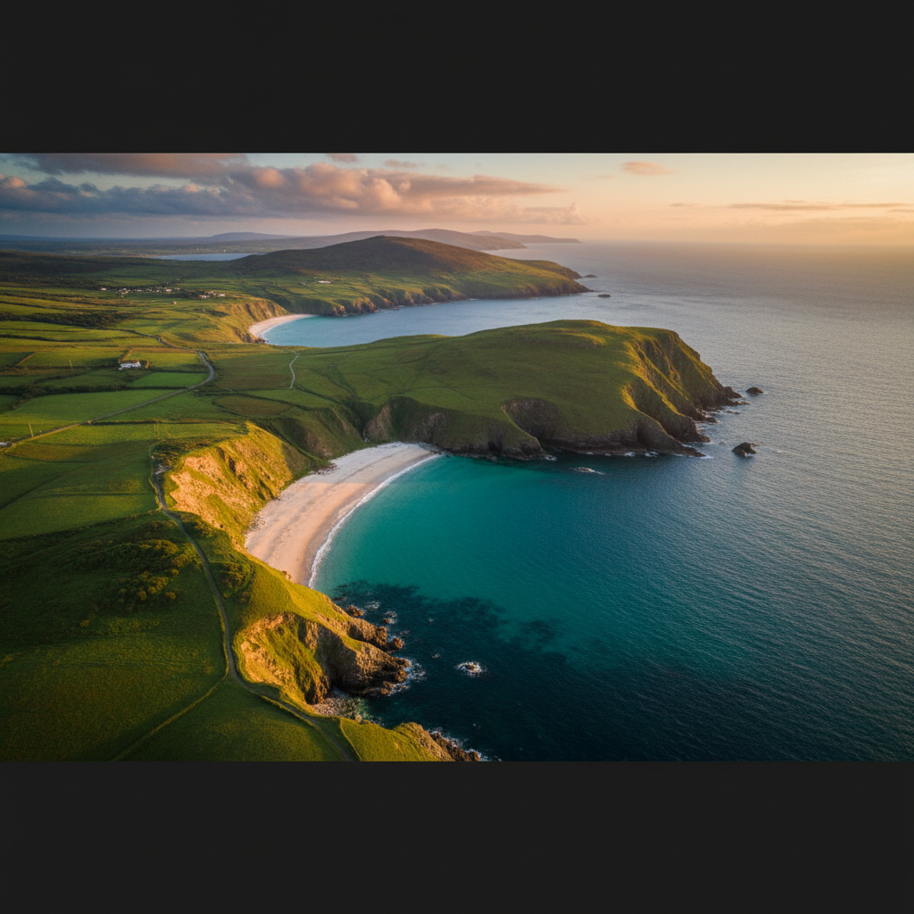
Atlantic Drive
Loop out to the coast at Bloody Foreland, named for the red glow of sunset on its rocks. Horn Head beyond is one of Ireland's finest sea cliff headlands.
Dunfanaghy
A charming village with excellent facilities, Horn Head access, and Ards Forest Park nearby.
Walking Highlights
Glenveagh Trails
- Derrylahan Trail - 3km, 1 hour, easy, woodland walk
- View Point Trail - 2km, 45 mins, moderate, castle views
- Long Range Walking - 14km, 5-6 hours, challenging, full glen exploration
Errigal Summit
- Distance: 5km return
- Time: 3-4 hours
- Difficulty: Challenging
- Note: Scree requires care; not suitable in poor visibility
Poisoned Glen
- Distance: 7km return
- Time: 3 hours
- Difficulty: Moderate
- Highlights: Dramatic cliffs, abandoned church
Practical Tips
- Glenveagh shuttle books up - Arrive early in summer
- Errigal is serious - Proper boots, waterproofs essential
- Weather changes fast - Mountains create their own weather
- Limited facilities - Bring food for remote sections
- Gaeltacht areas - Signs in Irish; locals appreciate Irish greetings
Wildlife Watching
Golden Eagles
The reintroduction project began in 2000. Sightings are rare but possible, especially in remote areas of the park.
Best Spots
- Glenveagh visitor centre has wildlife information
- Early morning and evening best for deer
- Scan the skies in the Poisoned Glen for eagles
Need a Car? Try GoCar
Flexible car sharing across Ireland. Get €25 off your first trip.
Register with GoCarCompare car rental options →Recommended fuel stops along this route:
Fuel stations are available in major towns along the route.